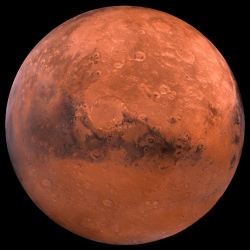
Launched today, NASA Mars Trek is a website that allows users to interact with a 3D rendering of the planet, zooming in and out of various regions of the planet, very similar to the Google Earth and Google Maps user interface. Data is provided from various NASA regions, and users can explore both 2D and 3D imagery.
Important Mars landmarks can be clicked to reveal a popup with extra details, while the map scale can be adjusted from standard mile and kilometer readings to show non-standard units like school buses, soccer fields, or Golden Gate Bridges. Former NASA activity on Mars can be plotted and explored on the NASA Mars Trek map, including details about missions like Spirit, Opportunity, Curiosity, Phoenix, and Sojourner.
Just like with Google Maps, various pins, lines, boxes, and shapes can be overlaid on top of the interactive model, and clicking on them shows various details like distance and elevation. An STL file can also be rendered from overlaid shapes, allowing you to 3D print your own piece of the Mars scenery and put it on your desk.
